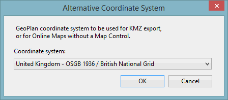
Alternative Coordinate System Dialog
This dialog is used to specify an online map projection system dialog for the currently displayed GeoPlan and applies to GeoPlans for which no map control has been set.
It is essential to specify such a projection system if intending to use online maps.
Select Set alternative coordinate system from the GeoPlan menu to display the dialog.
See Setting the Alternative Coordinate System for detailed instructions.

