Web Map Service Properties Dialog
Use this dialog to view the display properties for the selected Web Map Service (WMS) layer. Visibility of layers can be edited in this dialog.
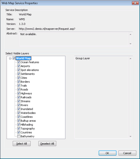
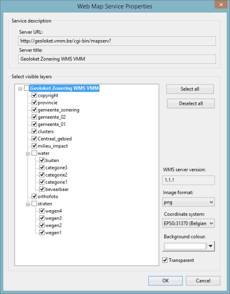
Dialog description
|
Service Description |
Contains detailed information about the Web Map Service. |
|
Select Visible Layers |
Displays the sub layers contained within the WMS layer in a hierarchical fashion, as defined by the WMS. Visibility of each layer can be set using the check boxes to the left of the layer name. ArcObjectsWhen using ArcObjects as Map Control, the right hand box in the Select Visible Layers section displays additional information about the currently selected sub layer. By default, when a WMS layer is inserted into a GeoPlan Window, only the first twenty sub layers are marked as visible. A sub layer will only be visible if its parent is marked as visible. MapXtremeWhen using MapXtreme as Map Control, selection of parent groups is disabled. Parent groups are always unchecked; use the sub-layer check boxes to control visibility. Use the Image format, Co-ordinate system and Background colour drop-down menus to choose which type of file format, co-ordinate system and colour are to be used to display the WMS layer. If you prefer that the WMS layer is transparent, then check the Transparent box.
|
