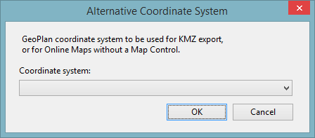
Alternative Coordinate System dialog
This dialog is used to specify a coordinate system for KMZ export, and for online maps without a map control. The setting applies to the currently displayed GeoPlan.
To display the dialog, select Set alternative coordinate system from the GeoPlan menu .

