Using GeoPlan tooltips
A tooltip is a descriptive text box that appears when the mouse pointer is held over a tool, button or other object.
Tooltips are used to display useful information when you hover the mouse pointer over an object in the GeoPlan.
By default, GeoPlan tooltips display the object ID. When hovered over, objects are listed vertically in a list, using no more than 80 characters. After 80 characters, the text (more) is appended to the end.
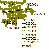
In the settings, you can choose which fields to display as tooltips. Different fields can be selected for different object types. The object ID is always displayed.
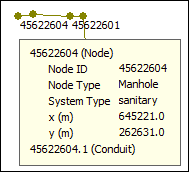
The example below shows a node for which the following fields have been selected to appear as tooltips: Node ID, Node Type, System Type, x and y.
If you hover the pointer over more than one object, you get a vertical list of IDs, as shown in the example below:
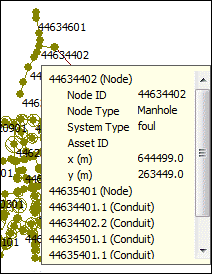
The above tooltips are not interactive, which means you cannot see the selected fields for an object other than the one expanded.
For modes where field values are shown, these are coloured appropriately according to the fields flag:
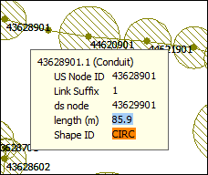
In the settings, it is possible to make tooltips interactive.
Interactive tooltips have tree-control buttons on them. These allow the list of items to be expanded so that the selected fields can be displayed.
You can browse the different objects by clicking the "+" sign in front of them and by using the vertical scroll bar to move down the list.
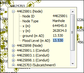
An interactive tooltip stays open until:
- a different object or area is hovered over for long enough to bring a different tooltip up
- a key or mouse button is pressed (unless the mouse button is pressed on the tooltip itself)
- the pointer leaves both the GeoPlan and the tooltip
To access settings for tooltips:
- Right-click the GeoPlan.
- Select Properties & Themes.
- Click the Auto Labels and Tooltips tab.
