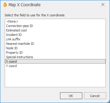
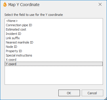
Map X Coordinate dialog & Map Y Coordinate dialog
- The Map X Coordinate dialog is displayed when the ellipsis button adjacent to the X Coordinates Field property of the form is clicked. This property can be found within the Map section of the Property Box in the Form Designer.
 Show image
 - The Map Y Coordinate dialog is displayed when the ellipsis button adjacent to the Y Coordinates Field property of the form is clicked. This property can be found within the Map section of the Property Box in the FormDesigner.
 Show image
Each of these dialogs allows you to select the field on the form that will be used to define the X coordinate or the Y coordinate. Setting any form property within the Map section of the Property Box makes the form map-aware. This means that such forms will be geographically enabled and that related reports can be directly created on the map.
The dialogs contain suitable fields that are present on the form.
One such field can be selected to use for the X coordinate or the Y coordinate.
Important distinction between InfoAsset Manager forms and non InfoAsset Manager forms
For InfoAsset Manager forms related to point-based objects, these properties are automatically set by InfoAsset Mobile when forms are first saved, and the configuration depends on the type of the associated InfoAsset Manager object.
No automatic configuration takes place for non InfoAsset Manager forms, so users will need to manually set these properties to make the forms map-aware.
Note: If setting these properties manually for a non InfoAsset Manager form or editing these properties for an InfoAsset Manager form, bear in mind that X Coordinates Field/Y Coordinates Field and Geometry Count Field/Geometry Field should be mutually exclusive. An object is either point-based or multi-point-based.


