Viewing spatial data on the GeoPlan
You can display spatial data points on the GeoPlan window in the same way as any other network objects.
To display spacial data on the GeoPlan:
- Right-click the GeoPlan window and choose Properties & Themes.
- Choose the Customer Points and Spatial Data tab.
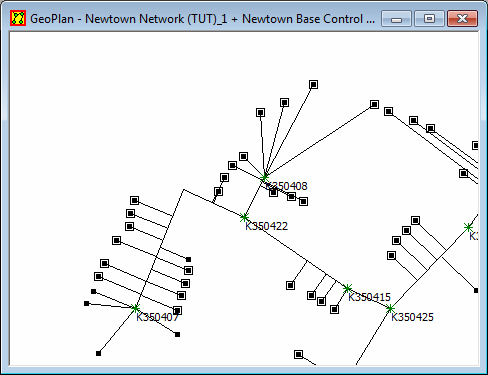
- You can choose whether or not to show assignment to pipes. If you show the assignment, a line is drawn from the spatial data point to the closest point on the pipe to which it has been allocated.
The picture below shows spatial data points connected to their allocated pipes on the GeoPlan window.