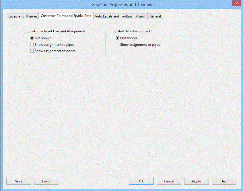
GeoPlan Properties and Themes - Customer Points and Spatial Data Page
Use this page to set the display options for Customer Points and Spatial Data in the network.
The options allow you to control whether a line is drawn linking the customer point or spatial data point with the appropriate node or link.
Control whether the points themselves are visible using the Layers and Themes page.
This page is opened by right-clicking the GeoPlan and selecting Properties & Themes, then clicking the Customer Points and Spatial Data tab.
Settings are used only for the current GeoPlan view. If the current GeoPlan window is closed, the settings will be lost (but see Network Editing Properties - Save Options dialog).

